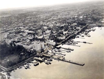
1920 - Aerial view of downtown Miami with new McAllister Hotel, before Bayfront Park was filled in |

1920 - 1st Annual Palm Fete - The Bathing Suit Parade at Miami Beach |
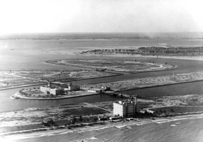
1920 - Gulfstream Apartments on Miami Beach, St. Francis Hospital on Allison Island, LaGorce Island & Normandy Isle to the right |
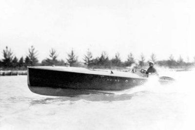
1920 - Carl Fisher in his speedboat "We-We" |
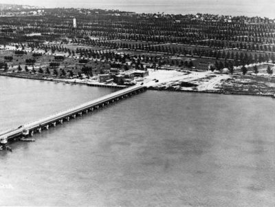
1920 - East end of County Causeway at south Miami Beach |
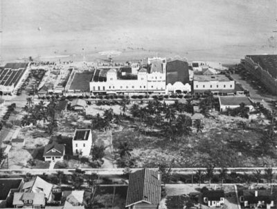
1920 - Hardie's and Smith's Casinos on Miami Beach |
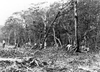
1920 - Mangrove Forest Destruction on Miami Beach |
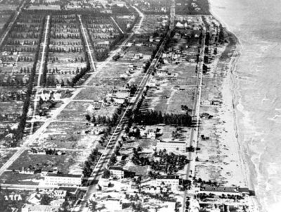
1920 - Miami Beach, Florida |
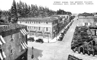
1920 - Spanish Village on Espanola Way, Miami Beach, Florida |
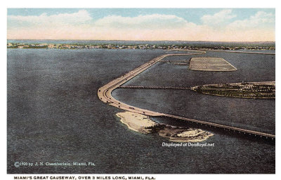
1920 - aerial view of the new causeway to Miami Beach, later the County Causeway and then MacArthur Causeway |
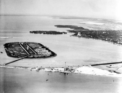
1920 - County Causeway, Terminal Island, Star Island and Miami Beach |
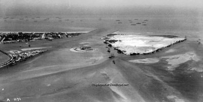
1920 - County Causeway, Terminal Island, Miami Beach and Fisher Island (comments below) |
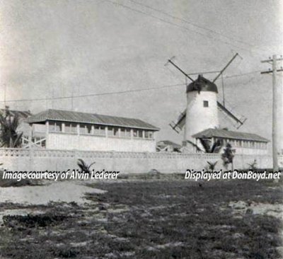
1920 - Alton Beach Windmill on Miami Beach |
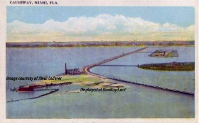
1920 - County Causeway looking west from Miami Beach |
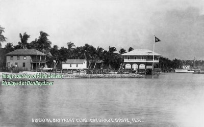
1920 - Biscayne Bay Yacht Club at Cocoanut Grove |
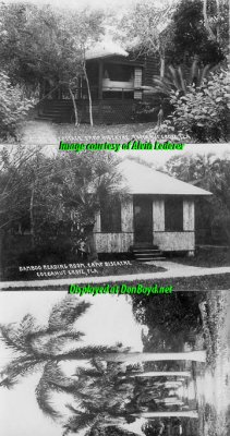
1920's - Camp Biscayne in Cocoanut Grove |
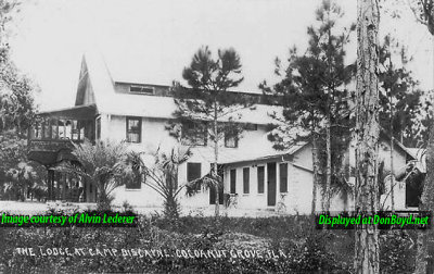
1920's - The Lodge at Camp Biscayne in Cocoanut Grove |
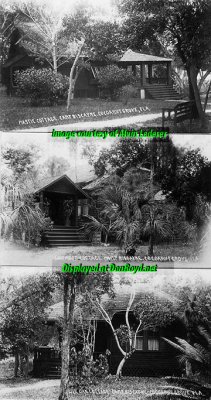
1920's - top to bottom: the Mastic Cottage, the Baywood Cottage and the Live Oak Cottage at Camp Biscayne in Cocoanut Grove |
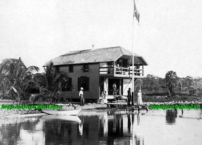
1920's - Ralph Munroe's boat house at 3485 Main Highway, Cocoanut Grove |
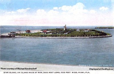
1920's - postcard image of Star Island |
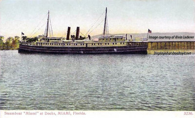
1920's? - Henry Flagler's Steamboat S.S. MIAMI docked at Miami |
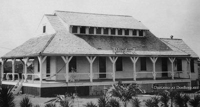
Early 1920's - Coast Guard Biscayne Bay Station (formerly Biscayne House of Refuge -now North Shore Open Space Park) Miami Beach |
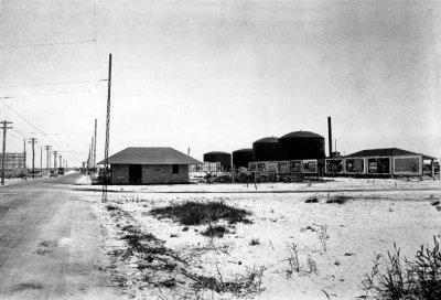
1921 - the Florida Power & Light substation and fuel tanks along the County Causeway between Miami and Miami Beach, Florida |
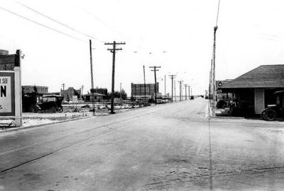
1921 - along the County Causeway from Miami to Miami Beach, Florida |
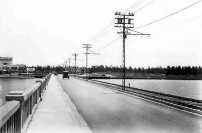
1921 - the east end of County Causeway at Miami Beach, Florida |
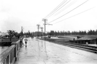
1921 - the east end of County Causeway at south Miami Beach |
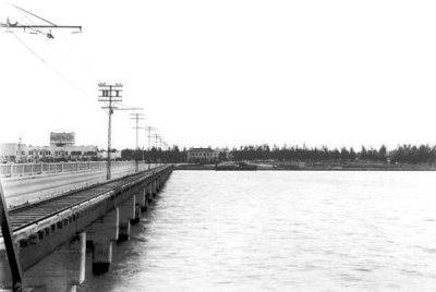
1921 - the east end of County Causeway at Miami Beach, Florida |

1921 - Winter Bathing at Smiths Casino on Miami Beach |

1921 - William Jennings Bryan's Presbyterian Tourist Bible Class in Miami |

1921 - Bathers on Miami Beach |
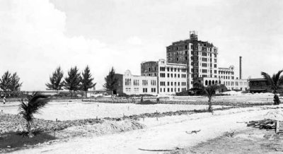
1921 - the Flamingo Hotel under construction on Miami Beach |
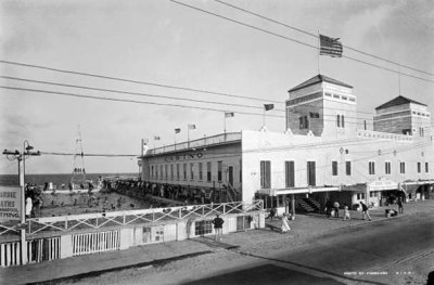
1921 - Hardie's Bathing Casino on Miami Beach |
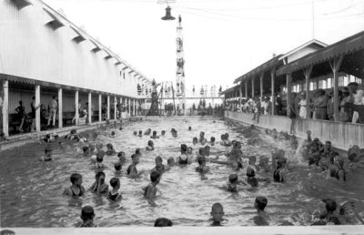
1921 - Swimmers at Smith's Casino |
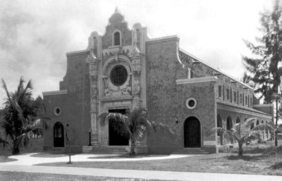
1921 - Miami Beach Congregational Church (now the Miami Beach Community Church) |
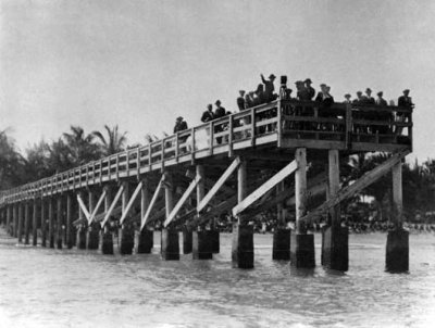
1921 - Fishing pier in the ocean at the foot of Lincoln Road |
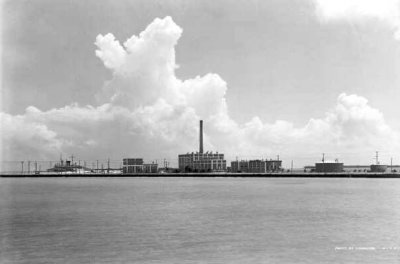
1921 - Power plant on Miami Beach |
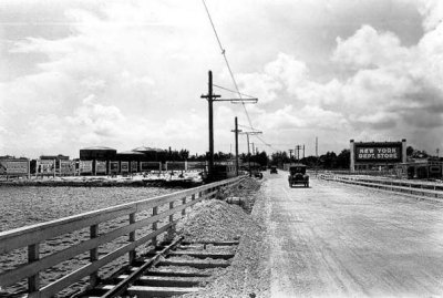
1921 - The west end (Miami side) of the County Causeway |
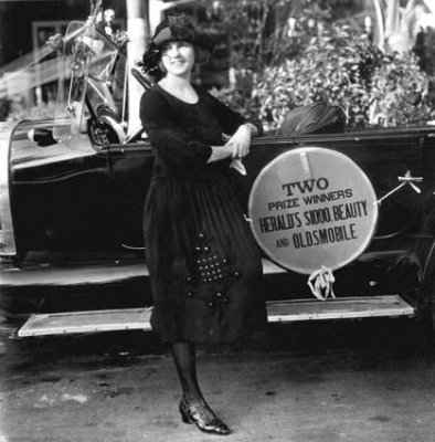
1922 - Beauty prize winner standing by an Oldsmobile on Miami Beach |
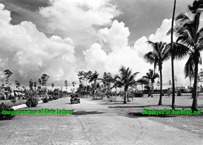
1923 - Country Club Prado Boulevard in Coral Gables |
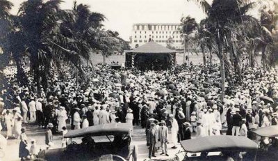
Early 1920s? - A crowd in Miami's first park by the bay in downtown Miami |
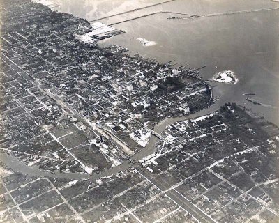
Early 1920's - Aerial view of Miami River, Downtown Miami, and Biscayne Bay shoreline |
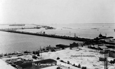
1920's - the County Causeway from Miami to Miami Beach |
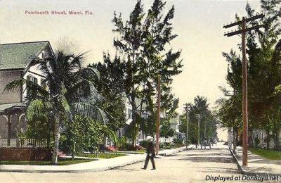
1920's? - NE 14th Street looking east towards Biscayne Bay, Miami |
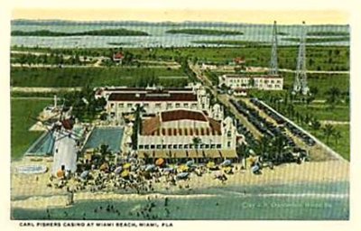
1920's - Carl Fisher's Casino on Miami Beach |
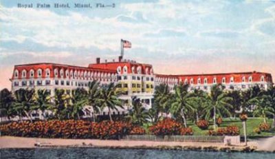
1920's - the Royal Palm Hotel on the Miami River at Biscayne Bay, Miami |
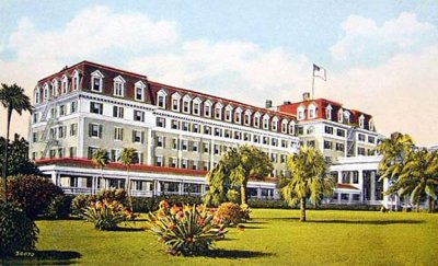
1920's - the Royal Palm Hotel on the Miami River at Biscayne Bay, Miami |
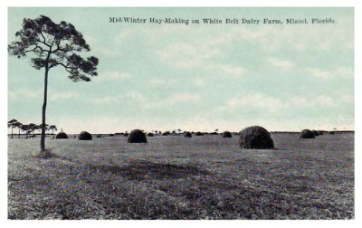
1920's - mid winter hay making on Dr. John G. DuPuis' White Belt Dairy Farm, Miami (comments below) |
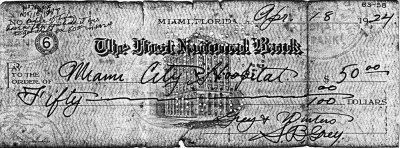
1924 - S. B. Grey's check for $50 to Miami City Hospital for birth of his son Burl Grey |

1924 - article about first aerial mapping of Miami with Andrew Heermance as pilot of the Curtiss aircraft |

1925 - Central Business District in downtown Miami |

1925 - Biscayne Bay and City of Miami skyline |
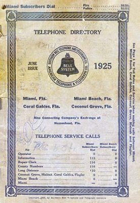
1925 - the Southern Bell Telephone Book for Miami, Miami Beach, Coconut Grove and Coral Gables |
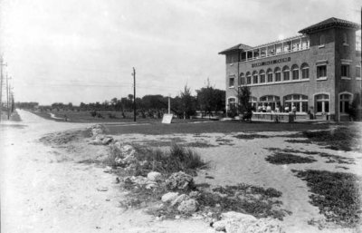
1925 - the Sunny Isles Casino |
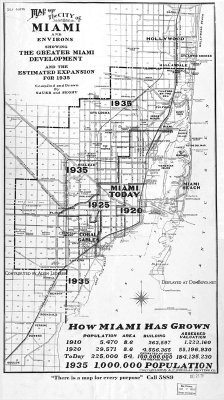
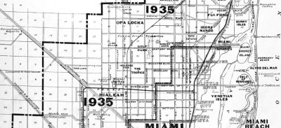
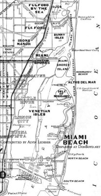
1925 - map of old Miami and surrounding environs in 1925 and projected growth by 1935 |
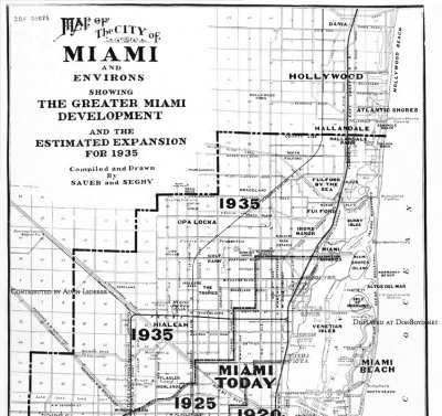
1925 - map of old Miami and surrounding environs in 1925, north of Flagler Street, and projected growth by 1935 |
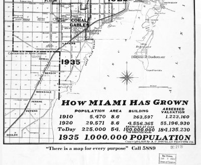
1925 - map of old Miami and surrounding environs in 1925, south of Flagler Street, and projected growth by 1935 |
1925 - map of old Miami and surrounding environs in 1925, Fulford to Buena Vista, and projected growth by 1935 |
1925 - map of old Miami and surrounding environs, east of Miami Avenue, in 1925 and projected growth by 1935 |
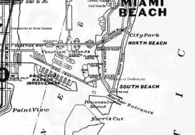
1925 - Map of south end of Miami Beach, Port of Miami, Venetian Islands, Biscayne Bay |
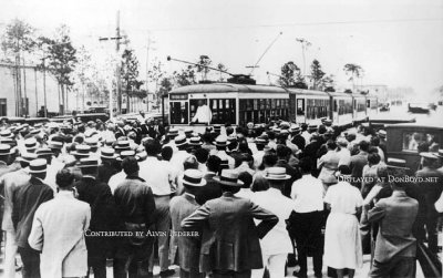
1925 - Coral Gables incorporated as a city with William Jennings Bryan addressing crowd |
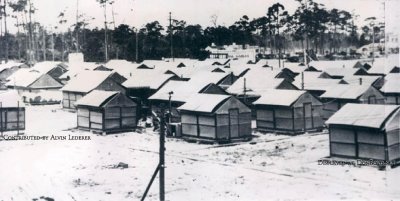
1925 - a tent city built to house workers constructing buildings in the new city of Coral Gables |
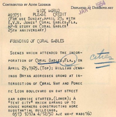
Press information for the preceding two photos about the incorporation of Coral Gables |

1926 - Miami's new drydock, a result of the Hurricane of 1926 |
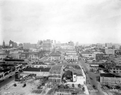
1926 - Downtown Miami after the hurricane |
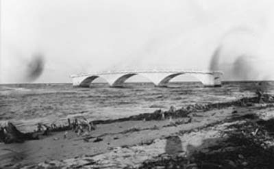
1926 - Baker's Haulover bridge after the Hurricane of 1926 |
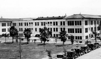
1926 - Miami Senior High School |
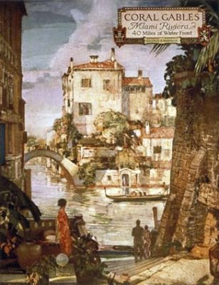
1926 - poster for "Coral Gables Miami Riviera 40 miles of water front George E. Merrick" |
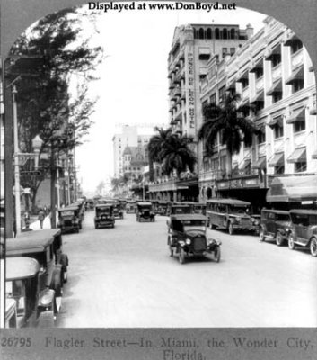
1926 - looking down Flagler Street, downtown Miami |
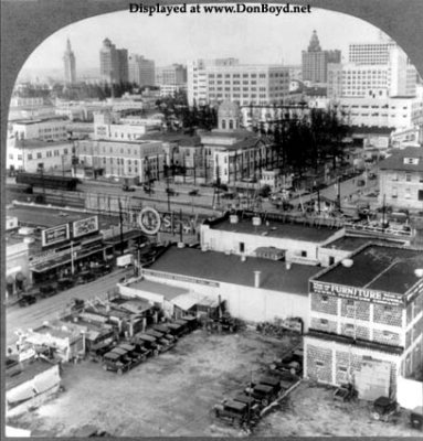
1926 - a view of downtown Miami looking northeast |
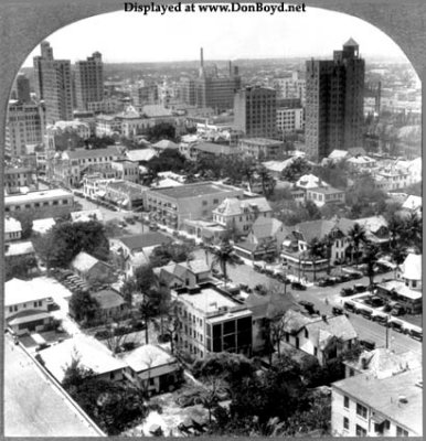
1926 - a view of downtown Miami looking south-south-west from the Miami News Building on Biscayne Boulevard |
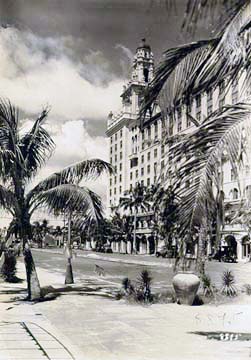
1920's - The Roney Plaza Hotel on Miami Beach |
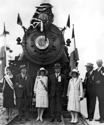
1927 - First arrival of the Seaboard Air Line Railway Company's Orange Blossom Special locomotive |
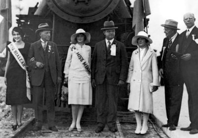
1927 - First arrival of the Seaboard Air Line Railway Company's Orange Blossom Special locomotive |
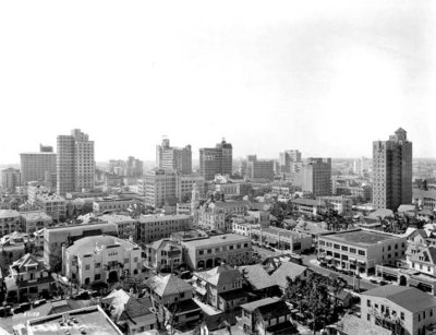
1927 - Downtown Miami |
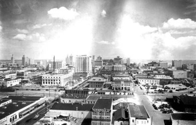
1927 - Downtown Miami from the El Comodoro Hotel |
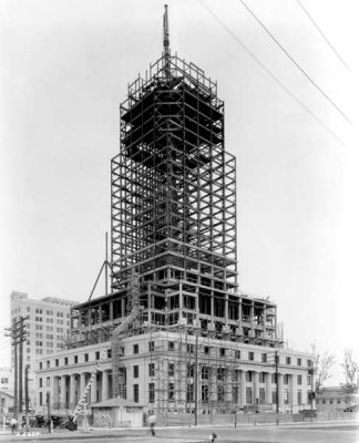
1927 - Dade County Courthouse under construction in downtown Miami |
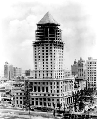
1927 - Dade County Courthourse under construction |
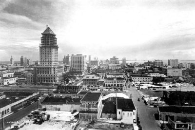
1927 - Downtown Miami from the El Comodoro Hotel |
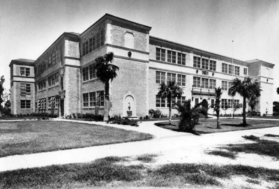
1927 - Ida M. Fisher High School on Miami Beach, named after the mother of Carl G. Fisher |
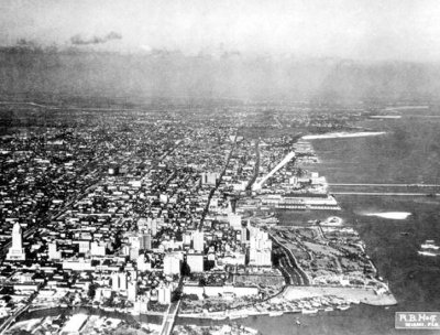
1928 - Aerial of downtown Miami looking north |
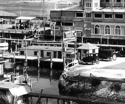
Mid 1920's - Dunn's Pier at 12th Street (now Flagler Street) and Biscayne Bay, Miami |
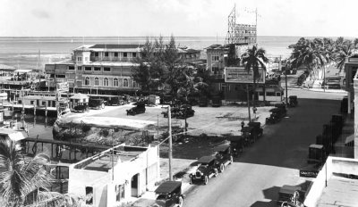
Mid 1920's - Elser's Pier area at 12th Street (now Flagler Street) and Biscayne Bay, Miami |
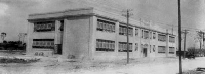
1920's - the Santa Clara School in Miami |
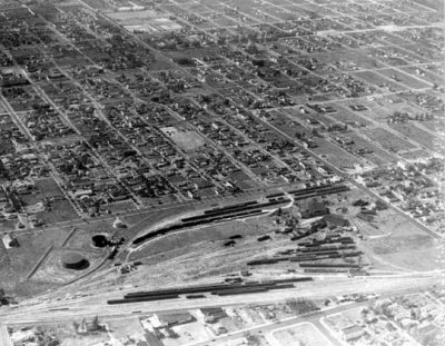
1928 - the Florida East Coast Railway Buena Vista rail yard in Miami |
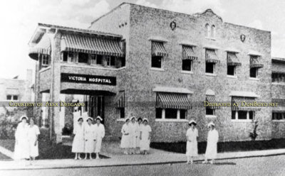
1920's - Victoria Hospital at 925 NW 3rd Street, Miami |


