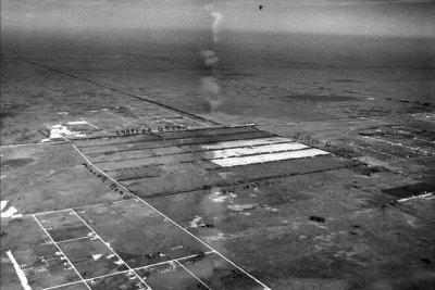
1950 Aerial view of the Miller Road to Bird Road area
|
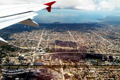
2007 aerial view of Miami east of the airport and the Orange Bowl
|
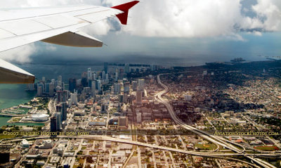
2007 aerial view of I 395, SR 836 and I 95 interchange and part of downtown Miami
|
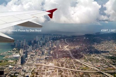
2007 aerial view of downtown Miami
|
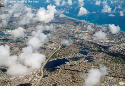
2007 aerial view of northeast Dade and southeast Broward counties
|
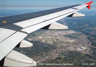
2007 aerial view of Minneapolis St. Paul International Airport aviation stock photo #2102
|
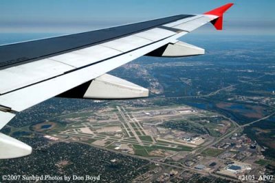
2007 aerial view of Minneapolis St. Paul International Airport aviation stock photo #2103
|
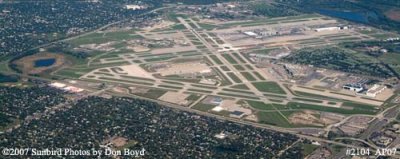
2007 aerial view of Minneapolis St. Paul International Airport aviation stock photo #2104
|
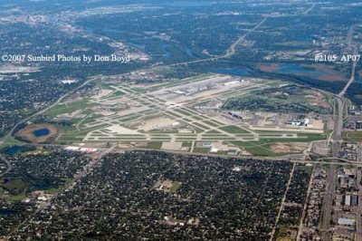
2007 aerial view of Minneapolis St. Paul International Airport aviation stock photo #2105
|
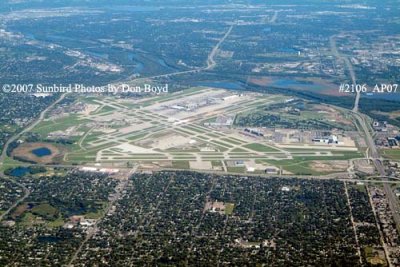
2007 aerial view of Minneapolis St. Paul International Airport aviation stock photo #2106
|


