photo sharing and upload picture albums photo forums search pictures popular photos photography help login

Search the PBase Photo Database for Photos

Search by Camera
Search by Country
Popular Search Keywords
Result Page: Previous 26 of 36 Next

john muir trail Pictures Search Results 251 to 260 of 356
g1/66/652966/3/131234341.qNLz2Gk2.jpg
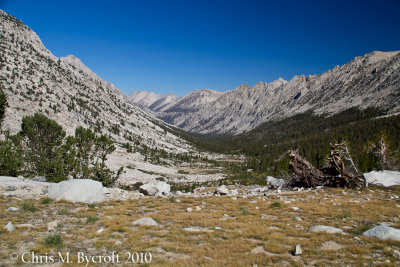
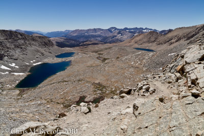
Bubbs Creek Valley view back on way to Forester Pass. Kearsarge Pinnacles on True Right hand side of Valley.
g1/66/652966/3/131234342.SRjyNLTt.jpg
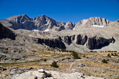
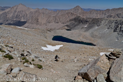
Mountains of the Kings Kern Divide. Mt Stanford on way up to Forester Pass
g1/66/652966/3/131234343.Q1nl7XGr.jpg
Panorama on way up to Forester Pass (SCROLL to right to see all the photo)
g1/66/652966/3/131234344.7w30kG55.jpg
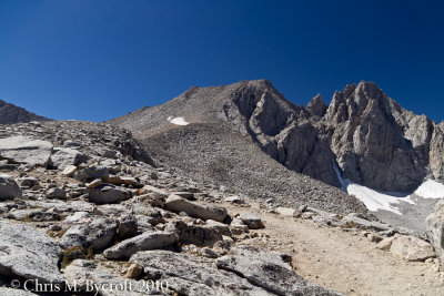
Way to Forester Pass, Gregorys Monument and Stanford Peak to the right
g1/66/652966/3/131234345.swH4ha2h.jpg
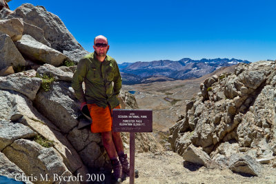
Me at Forester Pass, Kern Catchment beyond
g1/66/652966/3/131234346.nEQaXJYz.jpg
View south from Forester Pass. Kaweah Peaks on the right skyline.
g1/66/652966/3/131234347.TqGztdMo.jpg
The view north form Forester Pass
g1/66/652966/3/131234348.zJGhCQL0.jpg
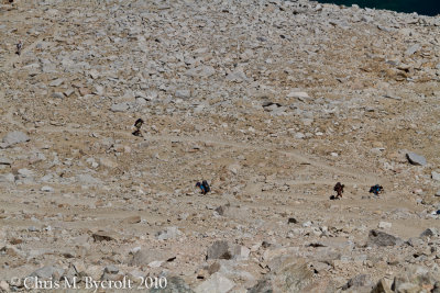
A crowd arriving from the north, including a bunch of California Conservation Corps doing track work
g1/66/652966/3/131234349.3QPFsVKY.jpg
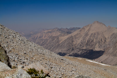
The smoke arriving from the northwest, Forester Pass
g1/66/652966/3/131234350.SxYuMFsp.jpg
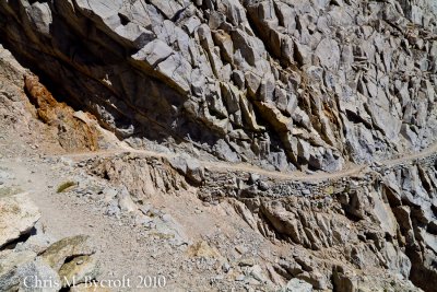
They can blast tracks through anything around here (view map below to see track on aerial image)
Result Page: Previous 26 of 36 Next


All images are copyrighted.
Please contact the photographer before using an image for any reason.
Find contact info on the photographer's profile page.